Welcome to my musings on whatever topic catches my eye, plus stories, recipes, handyman tips, welding, photography, and what have you. Oh, and analog/digital hardware design, and software. Please comment on the blog post so everyone who visits can see your comments.

Tag: cruise (Page 1 of 3)

Journal of the Voyage

During the voyage from the Caloosahatchie River, Florida (Fort Myers) to Rio Dulce, Guatemala I kept a little written journal. I have posted those journal entries along with some photo links on my blog.

Here’s a little index to the nine posts:

Caloosahatchie to Rio Dulce, Day 1
Departure!. Down the Caloosahatchie, past Sanibel, to the Gulf

Caloosahatchie to Rio Dulce, Day 2
Dry Tortugas midday and a swim

Caloosahatchie to Rio Dulce, Day 3
A Carnival Cruise ship, A/C problems, and a swim

Caloosahatchie to Rio Dulce, Day 4
A close call during the night, lots of traffic in the Yucatan Channel

Caloosahatchie to Rio Dulce, Day 5
Isla Mujeres at 3 AM, sleep, refuel, swim, continue south

Caloosahatchie to Rio Dulce, Day 6
South behind Cozumel, fighting the north setting current, Dolphins!

Caloosahatchie to Rio Dulce, Day 7
Mexico/Belize border, Grennell’s Channel at 9 PM

Caloosahatchie to Rio Dulce, Day 8
Belize coast, a swim, Placencia, Great Monkey Caye

Caloosahatchie to Rio Dulce, Day 9

Threading between the cayes, Livingston, Rio Dulce!

Caloosahatchie to Rio Dulce, Day 9

September 1, 2008 Monday

I was the first up at dawn, made myself some coffee, and then tried to photograph the sunrise. But I was foiled by condensation. We had run the air-conditioning hard all night and the humidity outside was 90 percent so the entire boat was coated with condensation. Stepping outside my camera was instantly covered with dew so I gave up on that plan. Then we raised anchor and started off from Great Monkey Cay en route to Guatemala. We threaded our way carefully amongst the various cays and had one traffic conflict with a catamaran that kept crossing and re-crossing our bow quite closely while I was on watch. I could not figure out what they were up to so I called Bert up to the bridge. He assessed the situation and blew the air horn at them which caused them to assume a proper course while we passed them. We concluded that they were intoxicated.
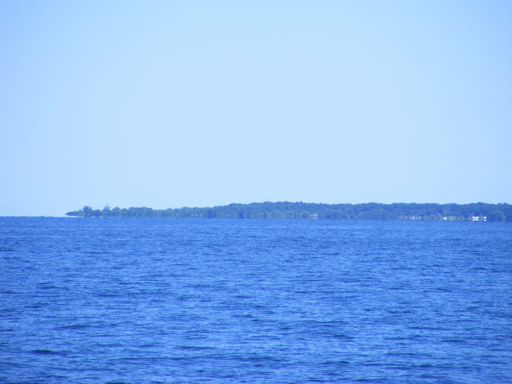
Bahia Amatique

Bahia Amatique. Click to view larger.
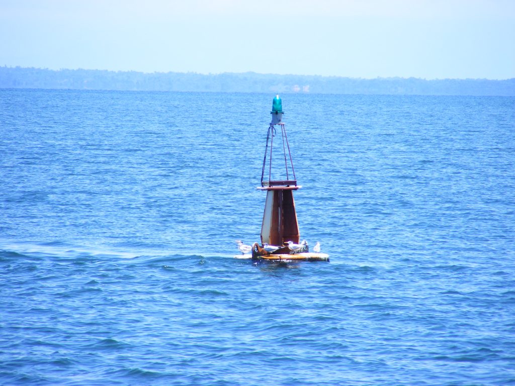
Livingston Buoy.

Livingston Buoy. Click to view larger.
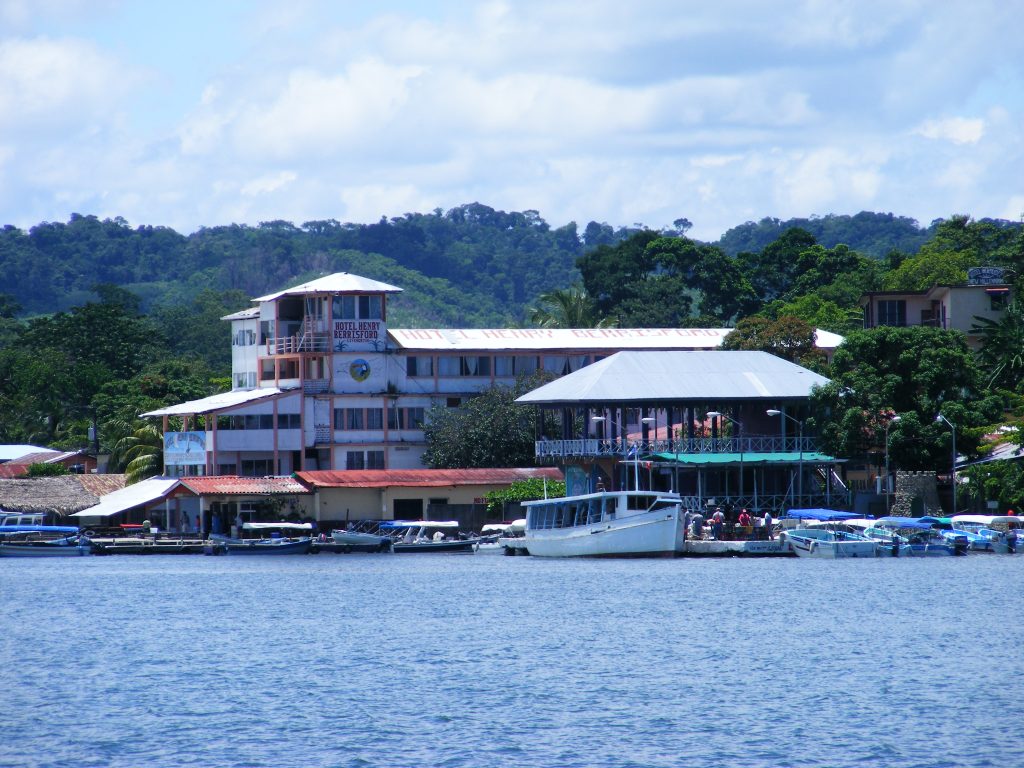
Livingston, Guatemala. Click to view larger.

Once free of the twisty passages between the cays we assumed a straight course for the Livingston sea buoy. We straightened up the boat a bit in preparation for the Guatemalan officials to come aboard, inspect the boat, handle immigration, and so forth. I had the watch during the final hour while Bert rested and enjoyed watching the coast of my destination grow closer and closer. We passed the sea buoy at 12:00 noon exactly, crossed the bar without incident, and anchored a little past the municipal dock amongs the fishing vessels anchored in the river’s current. We were finally on the Rio Dulce. Hurray!
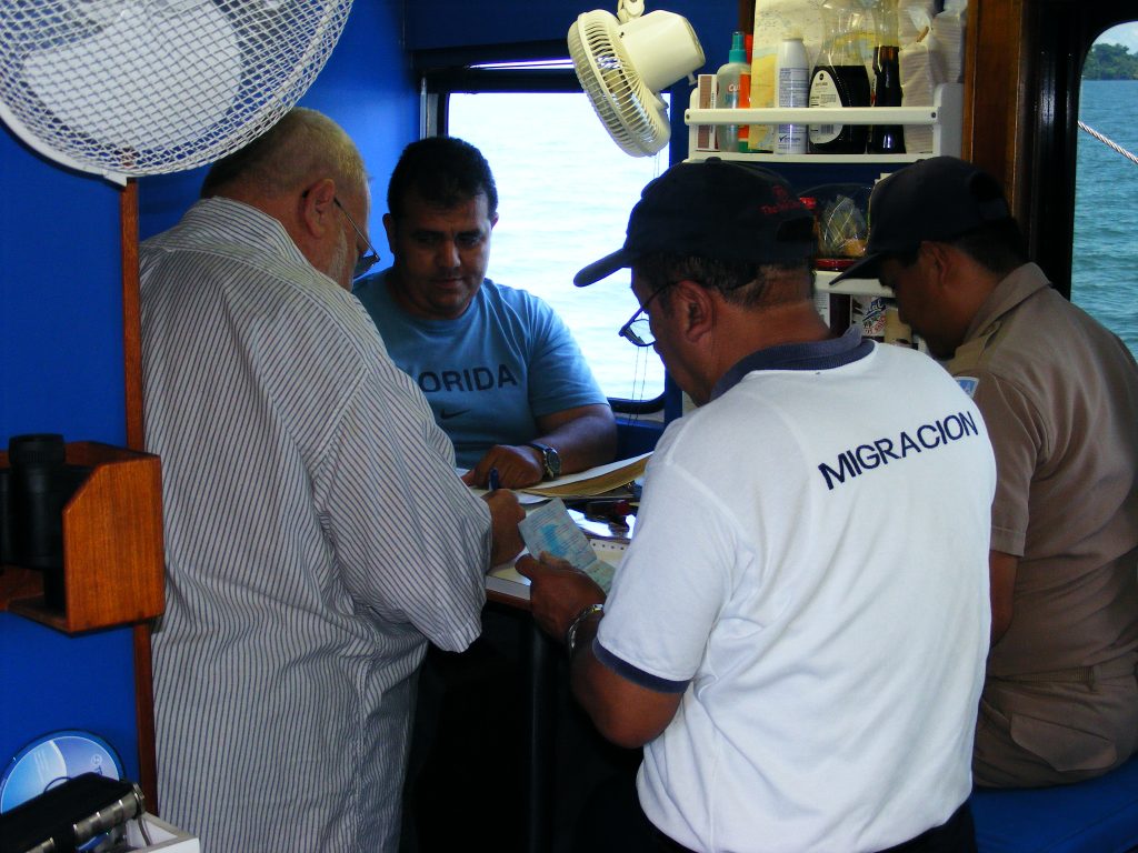
Migracion at Livingston.

Migracion at Livingston. Click to view larger.
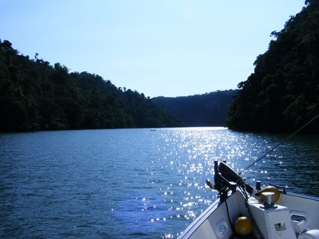
Starting up the Rio Dulce River, Guatemala.

Starting up the Rio Dulce River, Guatemala. Click to view larger.
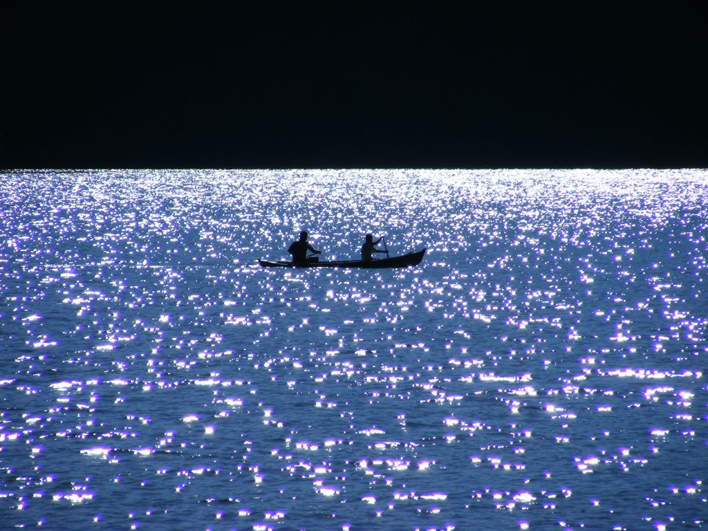
Canoe on the Rio Dulce

Canoe on the Rio Dulce. Click to view larger.

Bert called the officials and before long Raoul, immigration, customs, and a doctor came aboard, did the paperwork, collected our passports, and went ashore to complete the process. While we were waiting Bert prepared a lunch of soup and salad. About an hour later Raoul returned with the passports and paperwork, and we were properly checked into Guatemala. I took down the Q flag and replaced it with a Guatemalan flag and looked ahead to the trip upriver, just like I had done 12 years before in 1996. I hoped that the lighting would be good for photography.
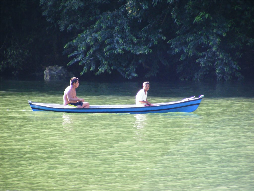
Canoe on the Rio Dulce.

Canoe on the Rio Dulce. Click to view larger.
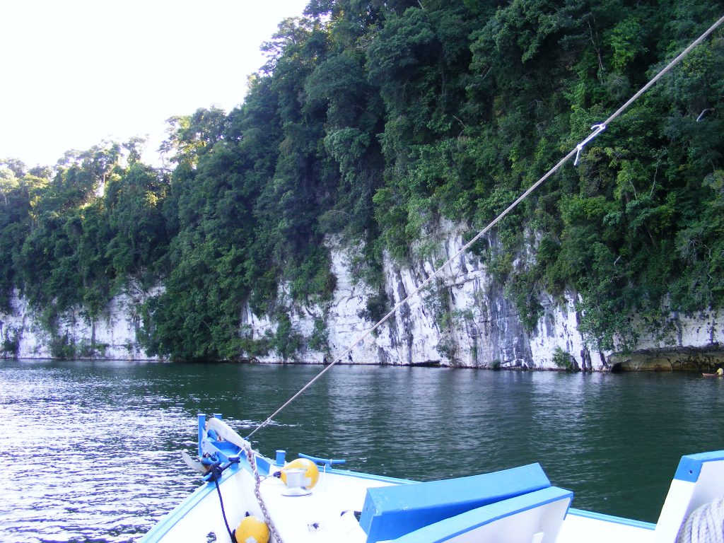
Limestone cliffs along the Rio Dulce

Limestone cliffs along the Rio Dulce. Click to view larger.
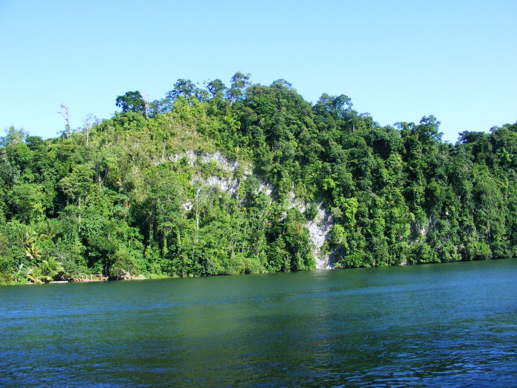
Along the Rio Dulce.

Along the Rio Dulce. Click to view larger.

Bert rigged the signalling cannon on the bulwark and we headed off upriver with me furiously shooting photos and video clips. The canyon was as beautiful as I had remembered it. It was mid-afternoon so the lighting was quite good for pictures. When we reached the Golfete we were treated to a full 180 degree rainbow. I hoped it was a good omen. Perhaps the rio was welcoming me back home. One heavy rainshower formed on our port beam and Bert turned the boat to bring us into the shower and wash the salt off the boat. We made a couple of revolutions in the heavy rain then continued on upriver towards Fronteras.
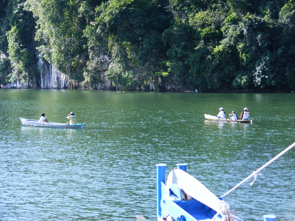
Canoes along the Canyon of the Rio Dulce.

Canoes along the Canyon of the Rio Dulce. Click to view larger.
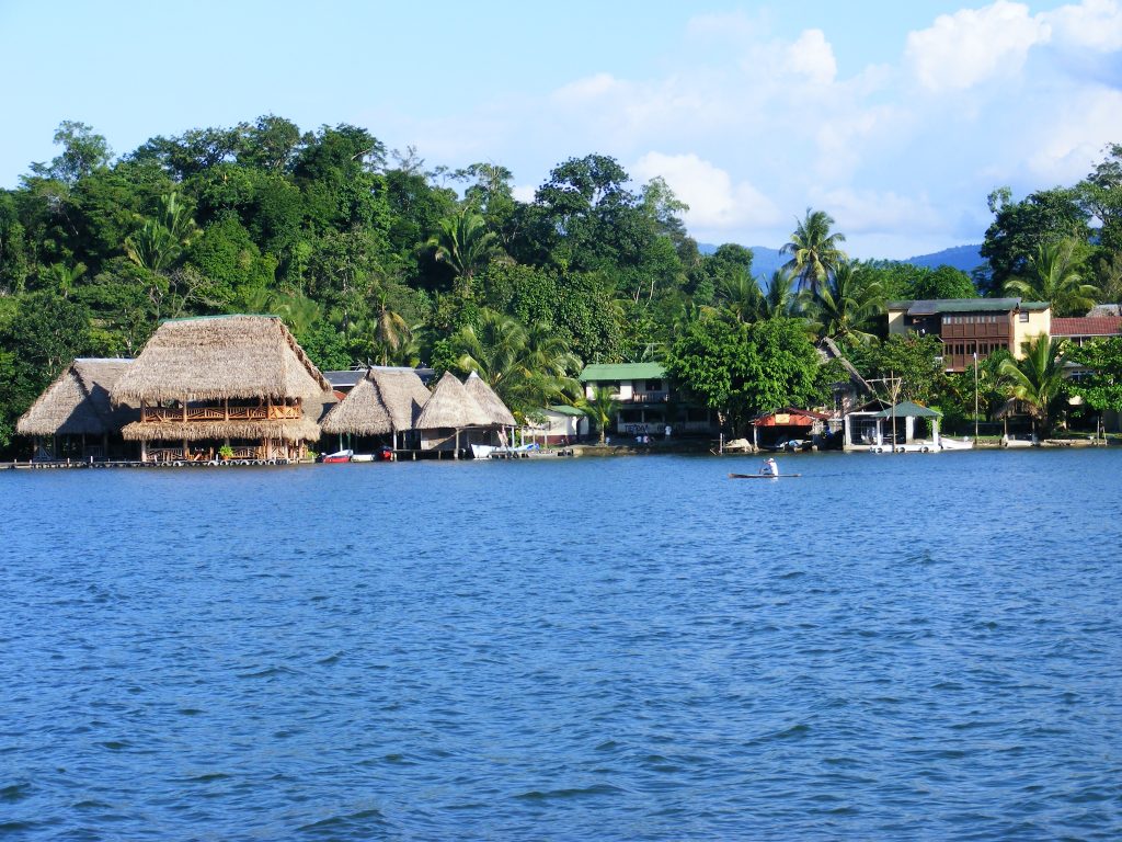
Settlement at the east end of El Golfete.

Settlement at the east end of El Golfete. Click to view larger.
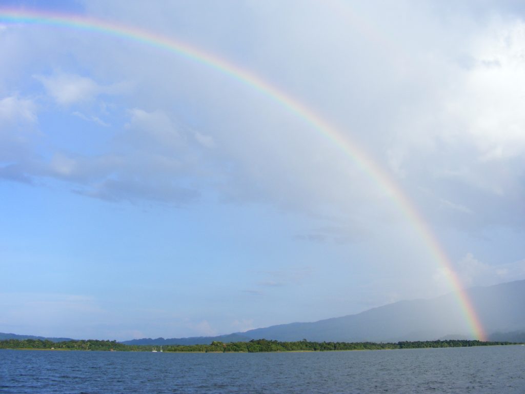
Rainbow on El Golfete

Rainbow on El Golfete. Click to view larger.

We arrived in the bay at Fronteras after dark, circled once to locate a spot to anchor and dropped anchor in front of Bruno’s at 7:24 P.M.
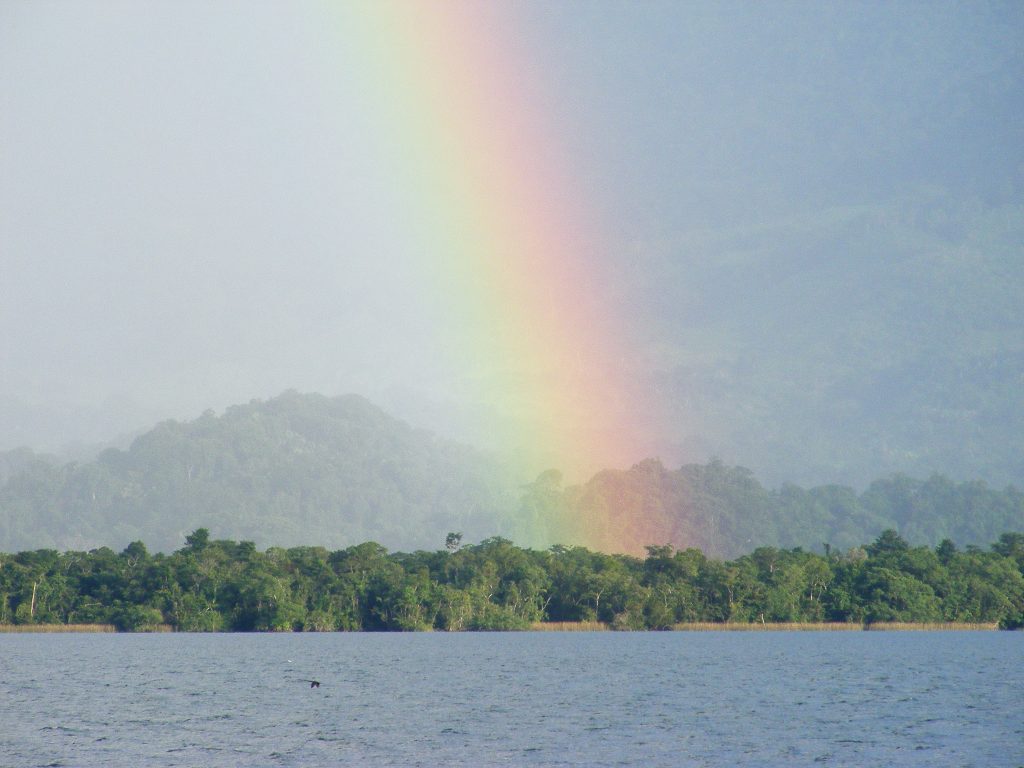
Rainbow on El Golfete

Rainbow on El Golfete. Click to view larger.
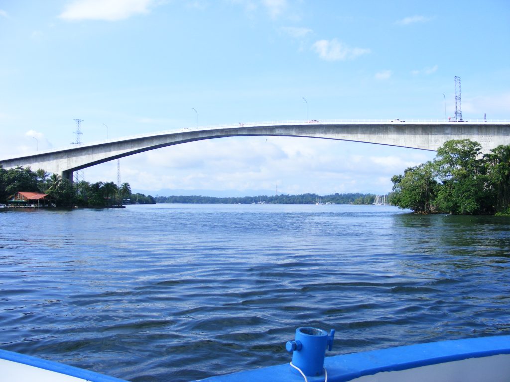
Bridge of the Rio Dulce at Fronteras

Bridge of the Rio Dulce at Fronteras. Click to view larger.
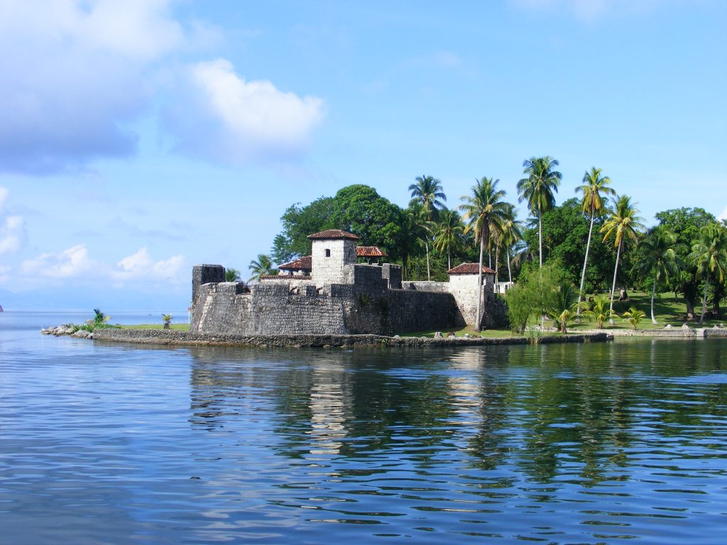
 

El Castillo

El Castillo. Click to view larger.

Caloosahatchie to Rio Dulce, Day 8

August 31, 2008 Sunday

I slept until 9:00 A.M. Nancy went swimming, then we started up the engine and continued our voyage. We left the “plateau” we had anchored on in only 15 feet of water, and got into deeper water, 50 to 60 feet, and headed south. It was an uneventful day watching the Belize coast go by. At Placencia we did a “drive by”. Bert slowed the boat as we passed Placencia very closely while I searched for an open WiFi signal, found one, and retrieved the phone numbers we wanted. I had never tried “war driving” from a boat before and thought it was hilarious that we succeeded.

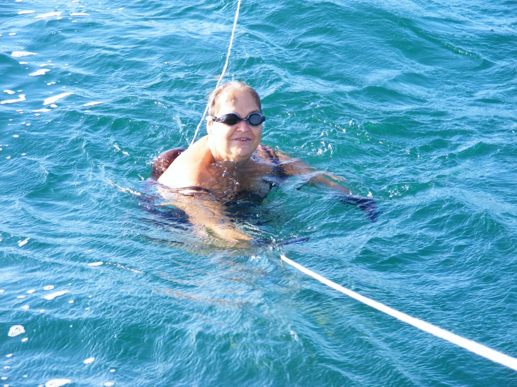
Nancy swimming off the stern.

Nancy swimming off the stern. The boat is anchored but the safety line is necessary because of the very strong current here. Click to view larger.
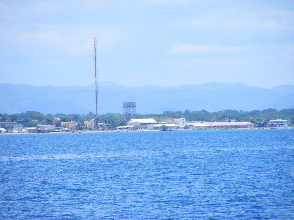
Not sure exactly where this is. I believe it’s off the coast of Southern Mexico, north of Belize. Click to view larger.
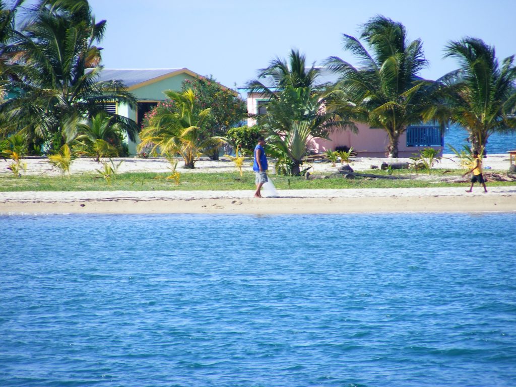
Coast of Placencia, Belize.

Coast of Placencia, Belize. Click to view larger.
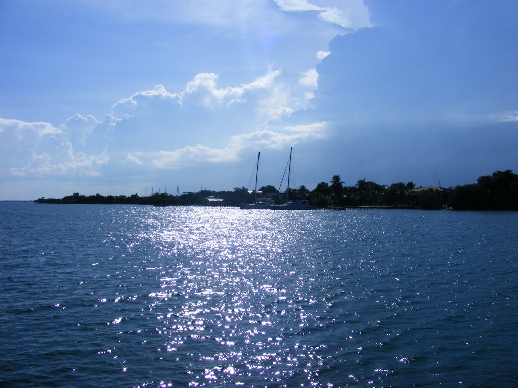
Placencia, Belize

Placencia, Belize. Click to view larger.
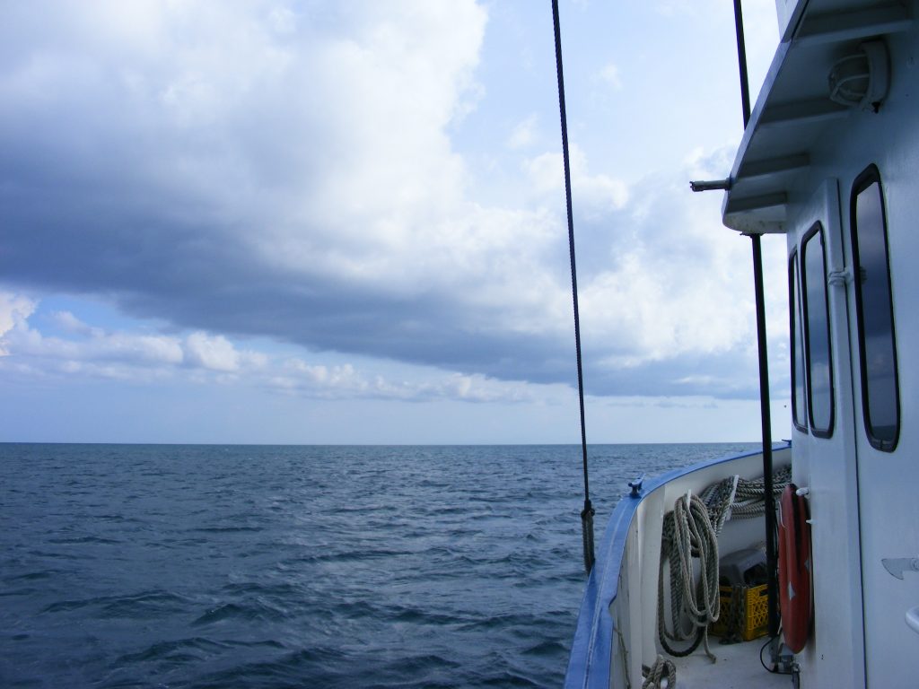
Early evening we pulled in behind Great Monkey Cay. Bert did some exploring, poking Vagabond’s nose into this and that bay and inlet. We went aground three times. Then Bert chose a spot just off Great Monkey Cay where we dropped anchor for the night. Bert and Nancy went swimming while I took photos of the beautiful sunset and some night shots of Vagabond. The air here is wonderful and it’s very peaceful. There was a light breeze and distant lightning. I made a satphone call to my daughter and also sent her an email via Winlink. We got to sleep around midnight.

Off the coast of Belize, south of Placencia

Off the coast of Belize, south of Placencia. Click to view larger.
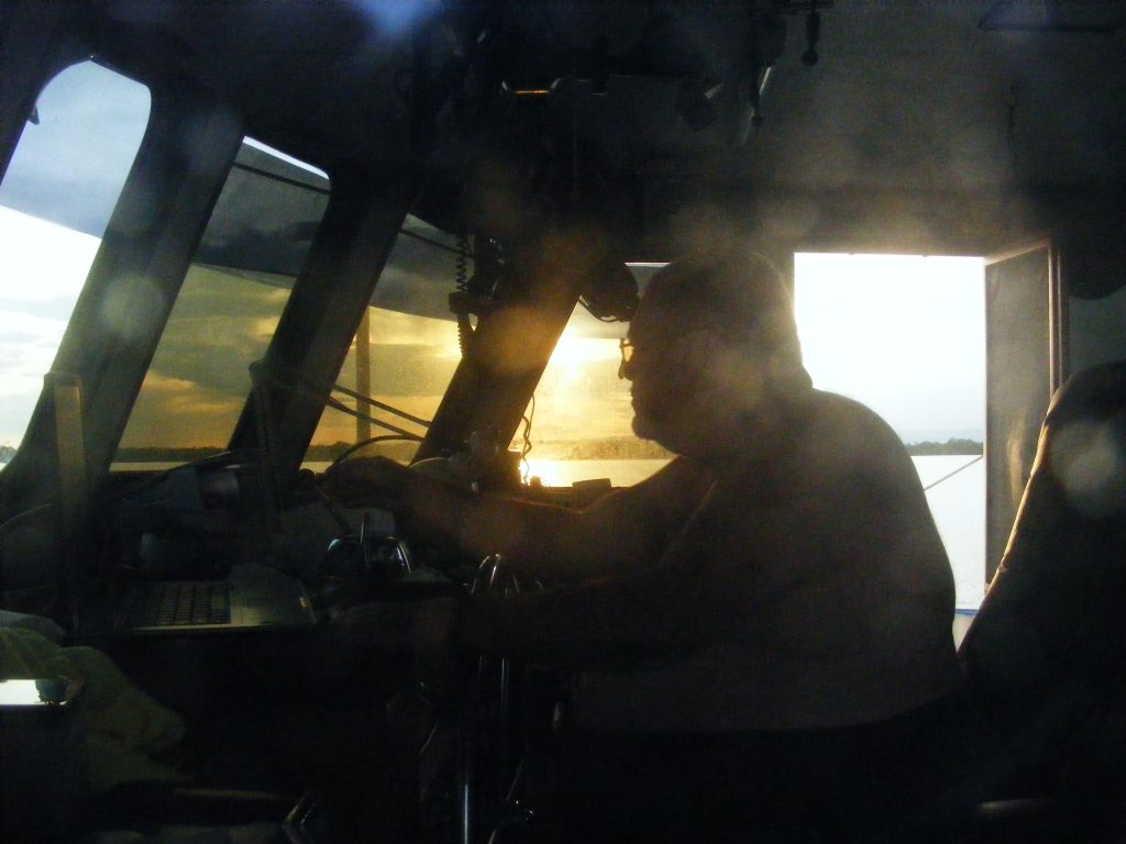
Bert at the helm of M/V Vagabond, off the coast of Belize, near Monkey Caye

Bert at the helm of M/V Vagabond, off the coast of Belize, near Monkey Caye. Click to view larger.
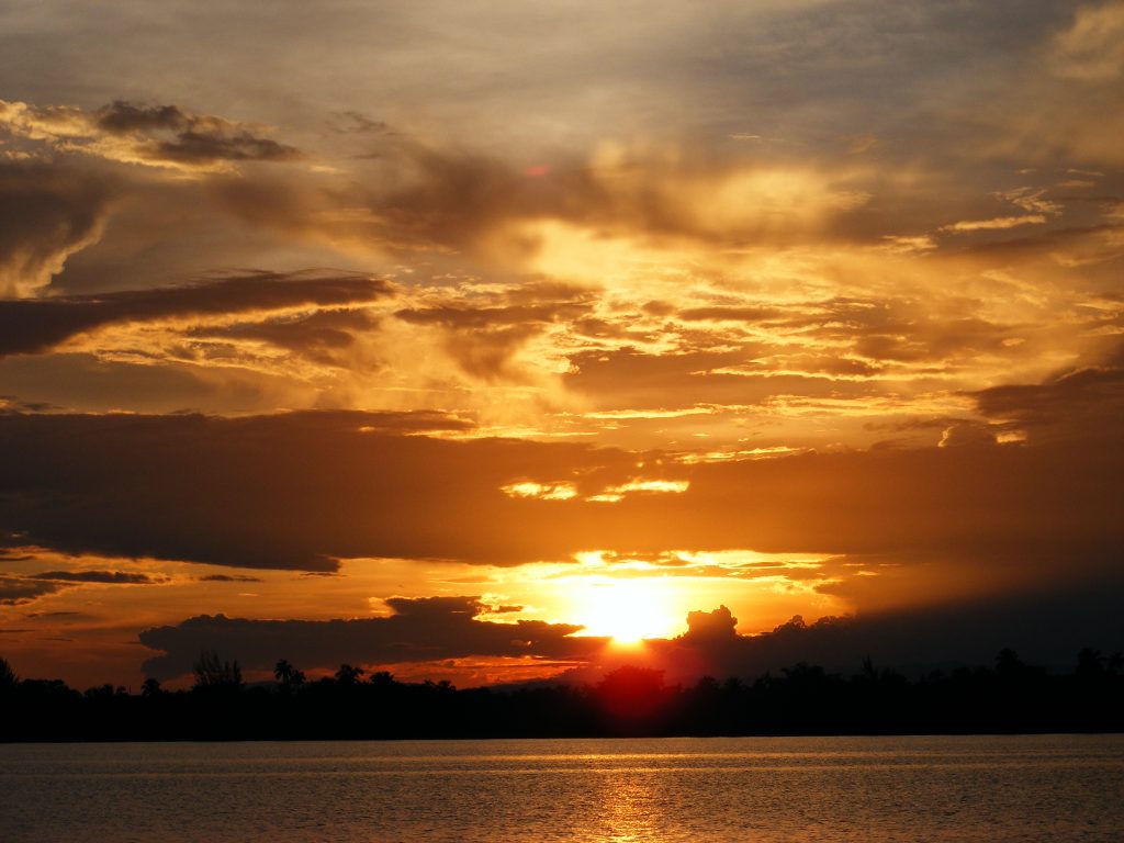
Sunset near Great Monkey Caye, Belize

Sunset near Great Monkey Caye, Belize. Click to view larger.
Caloosahatchie to Rio Dulce, Day 7

August 30, 2008 Saturday

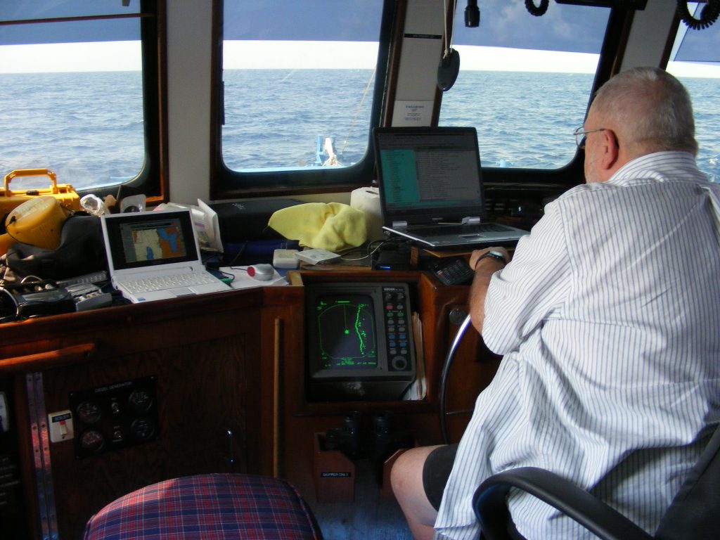
I took the watch at 11:30 P.M. and continued steering the ship to the points Bert had plotted. Bert was back on at 2:30 A.M. to relieve me. I was dead tired and crashed at 3:00 A.M. I awoke at 8:30 A.M. to a beautiful morning. The boat did well during the night and the seas had calmed down a bit. We are almost to the Belize border. I took photos, added more oil to the engine, and shot various video segments inside the boat and engine room. I installed Coastal Explorer on my Eee PC and am learning to use it. At the start of the trip I set up my Eee on the bridge to the left of the nav computer. Bert loaned me a USB GPS module and I was running charts alongside the nav computer. I was running Sea Clear which I like very much. This enabled me to explore the charts without disturbing the dedicated navigation computer and the Eee could serve as a backup if the nav computer failed. The Eee worked great in this capacity. By the end of the trip I had installed and running Sea Clear, Coastal Explorer, and Capn Voyager. All ran fine.

By late morning we had passed the southern limit of Mexico and were heading south off the coast of Belize, passing Ambergris Caye on our way to Grennell’s Channel. Our plan is to raise the Q flag and anchor in Grennell’s Channel some time tonight. This day was fairly uneventful, just steady progress south. Bert made a huge dinner but I suspect he has a second dinner planned for later tonight.

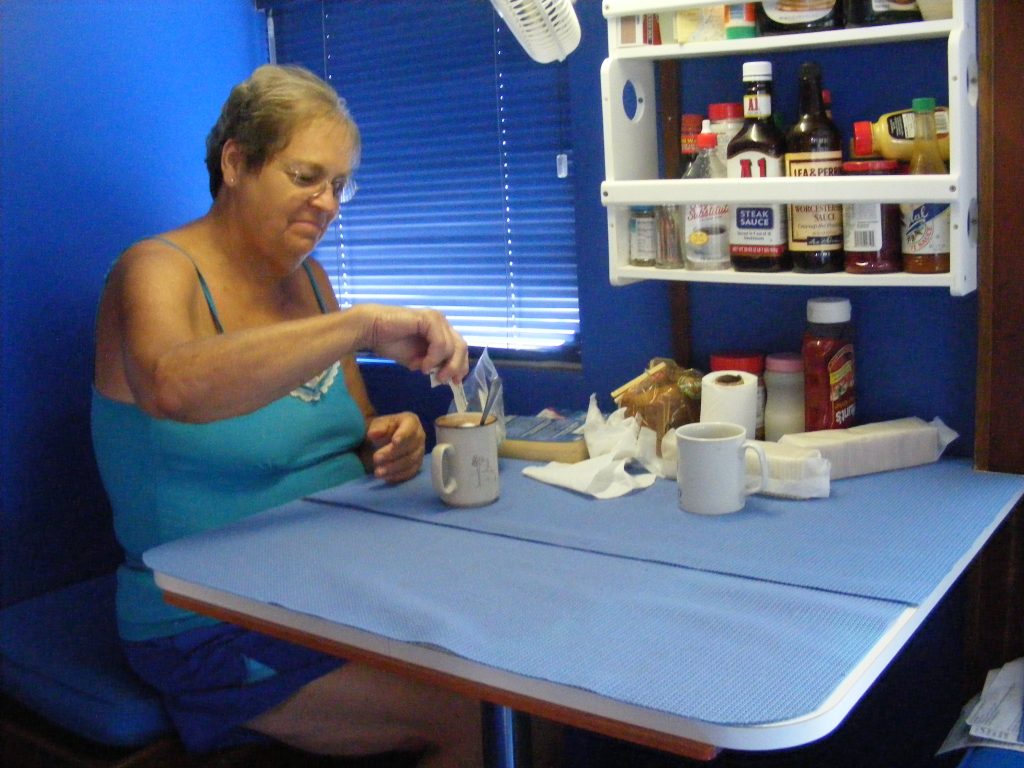
Nancy at the dinette

Nancy at the dinette. Click to view larger.
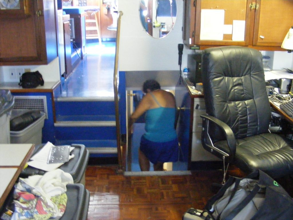
Nancy heading below to her stateroom.

Nancy heading below to her stateroom. Click to view larger.
We entered the eastern end of Grennell’s Channel in the dark and the process of piloting through there at night was very instructive, threading our way, turn by turn, from one marker light to the next. I dunno. I’m not sure I’d want to try it without GPS and charting software. This process was more complex than entering Isla Mujeres but it was less stressful. In Grennell’s Channel, the lights pretty much matched what we expected to find. At Isla, this was not the case. There, we could hardly find the lights and when we did they did not agree with the chart. Finally, around 9:00 P.M., we reached the western end of Grennell’s Channel where Bert took a left turn and after a bit of exploring with the depth sounder, we dropped anchor on an underwater plateau, in a spot with just 2 feet of water under the keel.

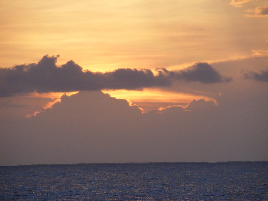
Sunset at sea.

Sunset at sea. Click to view larger.
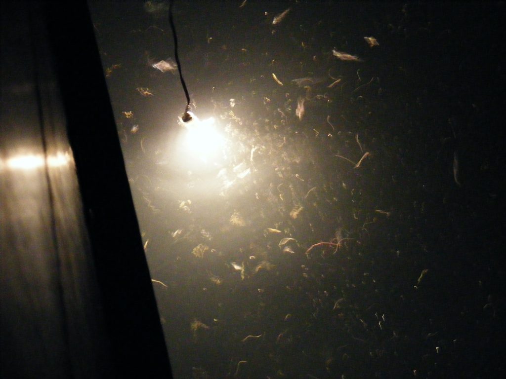
Sea life attracted by a bright light.

Sea life attracted by a bright light. Click to view larger.
Once we were secured, Bert produced a special 100 watt halogen lamp in a waterproof glass tube. This he lowered into the water and turned on. Bert was expecting fairly clear water but the water was murky. Soon the light began to attract sea creatures of all kinds including thousands of krill. I took photos and videos but the conditions were not very good for photography. Everything was in motion — just a roiling turmoil of sea creatures.

Bert made some big hamburgers for dinner — bleu cheese burgers. Nancy had gone to bed early and skipped dinner. After dinner, Bert and I had some rum and gin to celebrate another landfall, and then sat around talking until we got tired and went to bed.

Bert at the helm.

Bert at the helm. Nav software on both computers and radar display below them. Click to view larger.

« Older posts

© 2024 Shuttersparks

Theme by Anders NorenUp ↑

Find me on Mastodon