Welcome to my musings on whatever topic catches my eye, plus stories, recipes, handyman tips, welding, photography, and what have you. Oh, and analog/digital hardware design, and software. Please comment on the blog post so everyone who visits can see your comments.

Month: August 2008 (Page 1 of 2)

Caloosahatchie to Rio Dulce, Day 8

August 31, 2008 Sunday

I slept until 9:00 A.M. Nancy went swimming, then we started up the engine and continued our voyage. We left the “plateau” we had anchored on in only 15 feet of water, and got into deeper water, 50 to 60 feet, and headed south. It was an uneventful day watching the Belize coast go by. At Placencia we did a “drive by”. Bert slowed the boat as we passed Placencia very closely while I searched for an open WiFi signal, found one, and retrieved the phone numbers we wanted. I had never tried “war driving” from a boat before and thought it was hilarious that we succeeded.

Nancy swimming off the stern.

Nancy swimming off the stern. The boat is anchored but the safety line is necessary because of the very strong current here. Click to view larger.

Not sure exactly where this is. I believe it’s off the coast of Southern Mexico, north of Belize. Click to view larger.

Coast of Placencia, Belize.

Coast of Placencia, Belize. Click to view larger.

Placencia, Belize

Placencia, Belize. Click to view larger.

Early evening we pulled in behind Great Monkey Cay. Bert did some exploring, poking Vagabond’s nose into this and that bay and inlet. We went aground three times. Then Bert chose a spot just off Great Monkey Cay where we dropped anchor for the night. Bert and Nancy went swimming while I took photos of the beautiful sunset and some night shots of Vagabond. The air here is wonderful and it’s very peaceful. There was a light breeze and distant lightning. I made a satphone call to my daughter and also sent her an email via Winlink. We got to sleep around midnight.

Off the coast of Belize, south of Placencia

Off the coast of Belize, south of Placencia. Click to view larger.

Bert at the helm of M/V Vagabond, off the coast of Belize, near Monkey Caye

Bert at the helm of M/V Vagabond, off the coast of Belize, near Monkey Caye. Click to view larger.

Sunset near Great Monkey Caye, Belize

Sunset near Great Monkey Caye, Belize. Click to view larger.

Caloosahatchie to Rio Dulce, Day 7

August 30, 2008 Saturday

I took the watch at 11:30 P.M. and continued steering the ship to the points Bert had plotted. Bert was back on at 2:30 A.M. to relieve me. I was dead tired and crashed at 3:00 A.M. I awoke at 8:30 A.M. to a beautiful morning. The boat did well during the night and the seas had calmed down a bit. We are almost to the Belize border. I took photos, added more oil to the engine, and shot various video segments inside the boat and engine room. I installed Coastal Explorer on my Eee PC and am learning to use it. At the start of the trip I set up my Eee on the bridge to the left of the nav computer. Bert loaned me a USB GPS module and I was running charts alongside the nav computer. I was running Sea Clear which I like very much. This enabled me to explore the charts without disturbing the dedicated navigation computer and the Eee could serve as a backup if the nav computer failed. The Eee worked great in this capacity. By the end of the trip I had installed and running Sea Clear, Coastal Explorer, and Capn Voyager. All ran fine.

By late morning we had passed the southern limit of Mexico and were heading south off the coast of Belize, passing Ambergris Caye on our way to Grennell’s Channel. Our plan is to raise the Q flag and anchor in Grennell’s Channel some time tonight. This day was fairly uneventful, just steady progress south. Bert made a huge dinner but I suspect he has a second dinner planned for later tonight.

Nancy at the dinette

Nancy at the dinette. Click to view larger.

Nancy heading below to her stateroom.

Nancy heading below to her stateroom. Click to view larger.

We entered the eastern end of Grennell’s Channel in the dark and the process of piloting through there at night was very instructive, threading our way, turn by turn, from one marker light to the next. I dunno. I’m not sure I’d want to try it without GPS and charting software. This process was more complex than entering Isla Mujeres but it was less stressful. In Grennell’s Channel, the lights pretty much matched what we expected to find. At Isla, this was not the case. There, we could hardly find the lights and when we did they did not agree with the chart. Finally, around 9:00 P.M., we reached the western end of Grennell’s Channel where Bert took a left turn and after a bit of exploring with the depth sounder, we dropped anchor on an underwater plateau, in a spot with just 2 feet of water under the keel.

Sunset at sea.

Sunset at sea. Click to view larger.

Sea life attracted by a bright light.

Sea life attracted by a bright light. Click to view larger.

Once we were secured, Bert produced a special 100 watt halogen lamp in a waterproof glass tube. This he lowered into the water and turned on. Bert was expecting fairly clear water but the water was murky. Soon the light began to attract sea creatures of all kinds including thousands of krill. I took photos and videos but the conditions were not very good for photography. Everything was in motion — just a roiling turmoil of sea creatures.

Bert made some big hamburgers for dinner — bleu cheese burgers. Nancy had gone to bed early and skipped dinner. After dinner, Bert and I had some rum and gin to celebrate another landfall, and then sat around talking until we got tired and went to bed.

Bert at the helm.

Bert at the helm. Nav software on both computers and radar display below them. Click to view larger.

Caloosahatchie to Rio Dulce, Day 6

August 29, 2008 Friday

Bert came up at 3:00 A.M. and relieved me. We tried running closer and closer to shore to find less current and increase our speed over the ground but no luck. So Bert decided to try the opposite, turned and headed out to sea, I went to bed. I got up at 8:00 A.M. and discovered that Bert had found better conditions farther off shore. We had now been making 4.5 to 4.6 knots over the ground all morning. Bert cooked up some corn fritters for breakfast. I had been watching a squall on the radar chasing us on our port quarter and it looked to arrive momentarily. Perhaps we will get some rain. We have had no rain since leaving the Caloosahatchie. Nancy took the watch at 11:30 A.M. while Bert and I got some rest.

I awoke from my nap to hear Bert calling out “Dolphins!”. A family of seven dolphins was playing in the pressure wave created by the bow of the boat. The bow wave creates conditions that allow the dolphins to “body surf”. I grabbed my camera, laid down on the foredeck, and hung over the bow of the boat, taking lots of photos and video from just a few feet away. The dolphins played there for over an hour. Their strength and stamina is very impressive.

Dolphins

Dolphins. Click to view larger.

It was very hot and humid today. I stayed inside in the air conditioning as much as possible. The temperature outside was 88F but the humidity was 78 percent. Wow. We ate lunch and then as we came out from the protection behind Cozumel the swells from the Caribbean began to beat us up. I took the watch while Bert got some rest. I asked Bert if I could try for more speed closer to shore and he said yes, so I began to experiment. One must be careful because close to shore the depth suddenly changes from over 1,400 feet to just 60 feet. Then in another sudden step it changes from 60 feet to just 6 feet. But I was careful and fairly successful, raising our speed over the ground from 4.2 to 5.5 knots.

Once of countless ships we encountered

Once of countless ships we encountered. Click to view larger.

The seas got rougher and rougher and when I had to make a turn that brought the seas from quartering to beam seas, it got even worse, of course. Bert returned to the bridge and decided to try to find a better ride. He turned in towards the shore even closer. We got close enough to see the breakers at Bahia Espiritu Santo. We then turned to put the seas on our quarter but soon had to turn south again. There was just no avoiding getting knocked around if we wanted to hold our course south. There were some very good rolls and a couple of snaps that threw us around. One hit us when I was out on deck using binoculars to locate a light and it threw everything in the salon to the floor. It was a mess. So I gathered everything up and placed it into bins and then restrained things with line. Then I checked the workshop and found all the drawers to all the tool boxes flying completely in and out with each roll so I fixed that and locked them down. Haha. It was a funny sight and I should have taken a video of it but I had my hands full with keeping stuff where it belonged and keeping myself on my feet in the boat.

Dolphins.

Dolphins. Click to view larger.

During the evening Bert plotted some marks and waypoints for me to steer to during my watch. By late evening we had a pretty decent ride and a speed of 5.3 knots.

Caloosahatchie to Rio Dulce, Day 5

August 28, 2008 Thursday

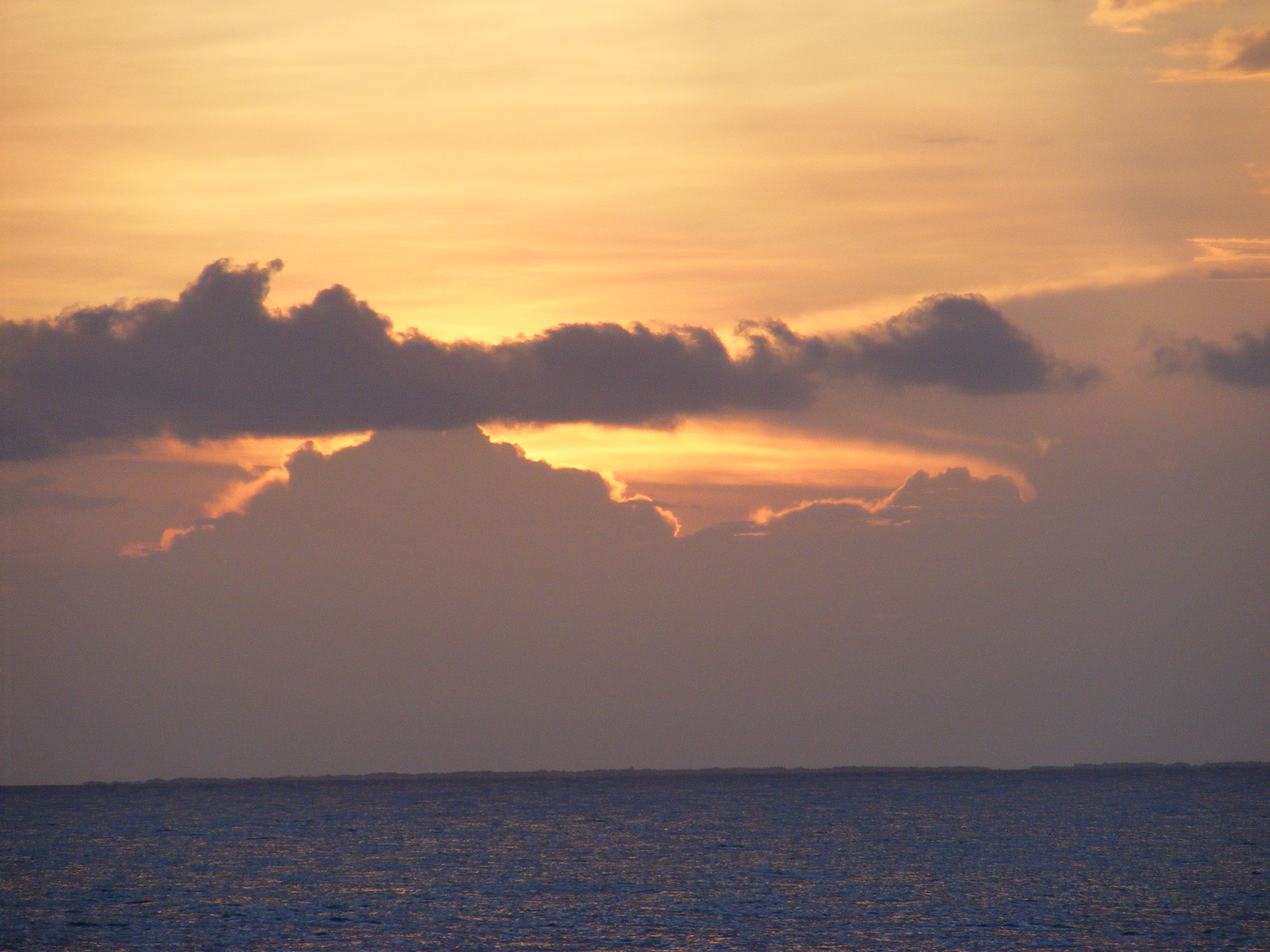
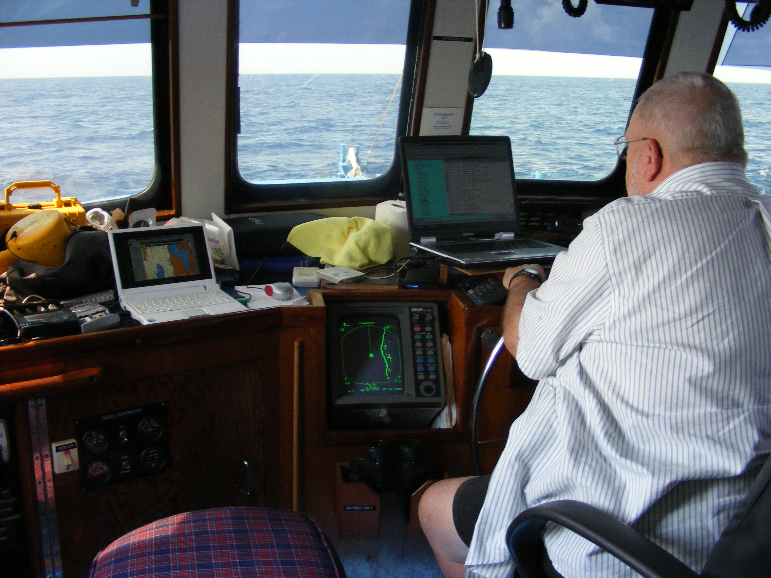
Just after midnight we are about 3 or 4 hours from Isla Mujeres. The night was pitch black but clear. The northern entrance to Isla is tricky so Bert will decide what we’ll do when we get there. We made easy radar contact with Punta Norte. I’m on watch and exhausted from working all day and I’d love to sleep but there’s no choice. Besides, first landfall is an important milestone. I ate a snack to wake myself up. Bert and I are both tired but we must press on. We arrived at Isla Mujeres around 2:00 A.M. and began negotiating the northern entrance by observing lights and checking against the charts and GPS position. Observing the lights was extremely difficult because the whole area is so built up and urbanized that the marker lights are lost in the clutter of other lights. Complicating it even more is the numerous airports and airstrips in the area whose beacons have colors and flash patterns nearly identical to the marine markers. What genius thought this up? I wondered to myself whether the intention is to cause accidents rather than prevent them. There are cases in history where folks have intentionally moved lights in order to cause ships to run aground so they can be looted, but that’s not the case at Isla Mujeres — I hope. Haha.

Once we were past a particular point that Bert was looking for we could relax a bit so we both went out on the Portuguese bridge and stood while the autopilot steered the boat. There was a warm breeze and we enjoyed the sense of the boat moving through the water, the sound of the bow wave, the darkness. It was a very pleasant moment to stand out there quietly for a while as the coastline slid by us on both sides. When we reached a certain point not far from the entrance to the bay behind Isla Mujeres we dropped anchor in the clear shallow water. Even though it was 3 AM, Bert cooked up a celebratory meal and we treated ourselves to a bit of rum. We talked for a while and I crashed at 4 AM.

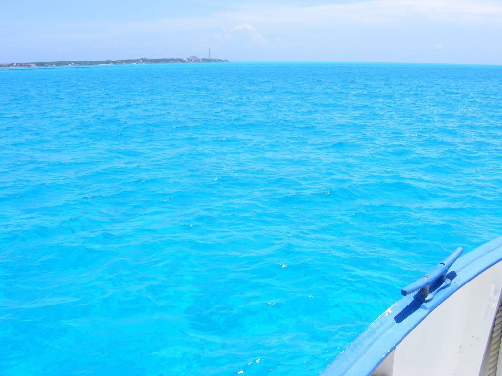
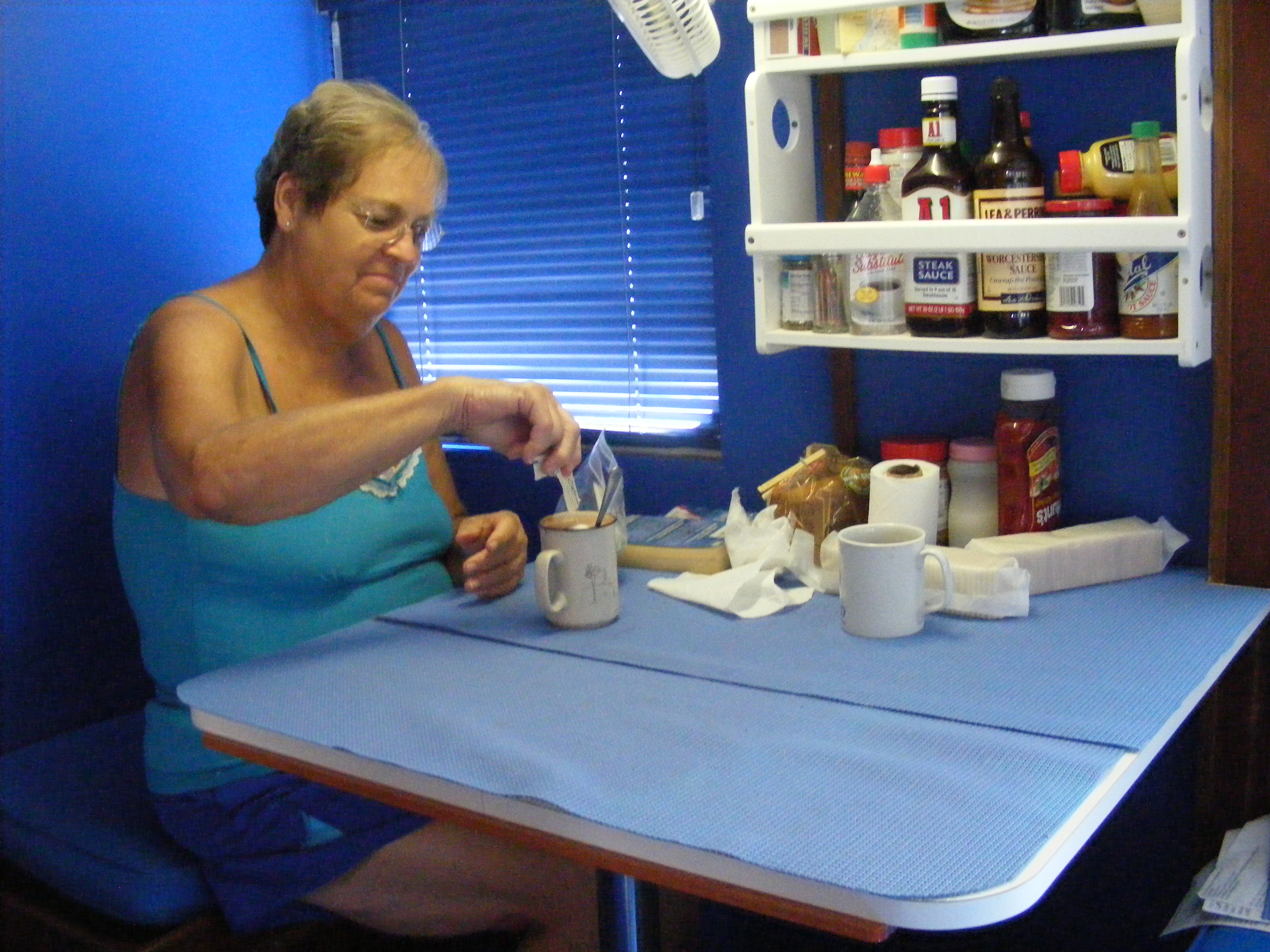
Bert planned for us to get up at 7:30 AM but I awoke to the sound of the main engine starting up at 9:00 A.M. I was very glad for the additional sleep. We motored over to the fuel dock and tied up. Amazing crystal clear blue water and very shallow. We took on fuel to top up the wing tanks, mid tank, and filled the forward tank. There were many very interesting boats in the bay so I took photos during the run into and out of the bay. We even saw an old oil tanker that Bert recognized. It used to move fuels around up in Maine. We motored out to a spot in just 12 feet of crystal clear water and anchored for lunch.

The Waters of Isla Mujeres.

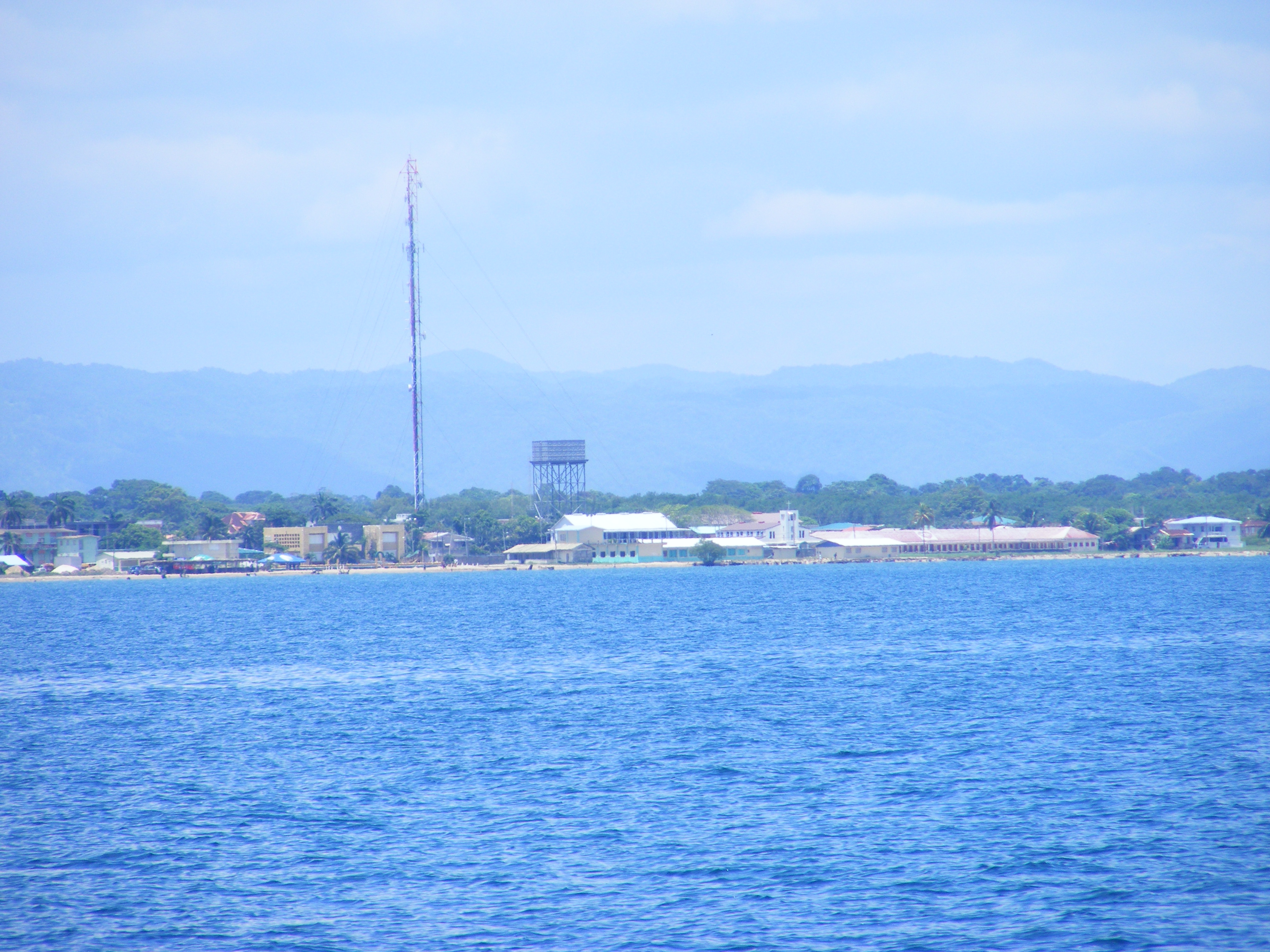
The Waters of Isla Mujeres. Click to view larger.

Old boat anchored in the bay at Isla Mujeres

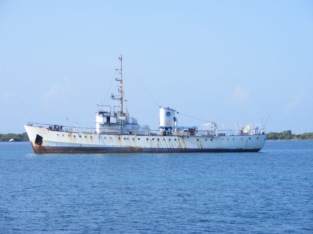
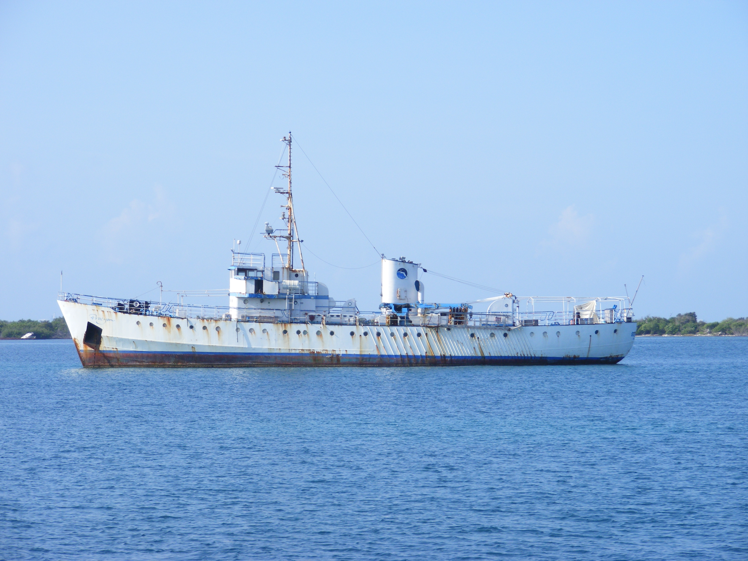
Old boat anchored in the bay at Isla Mujeres. Click to view larger.

Tied up at the fuel dock at Isla Mujeres.

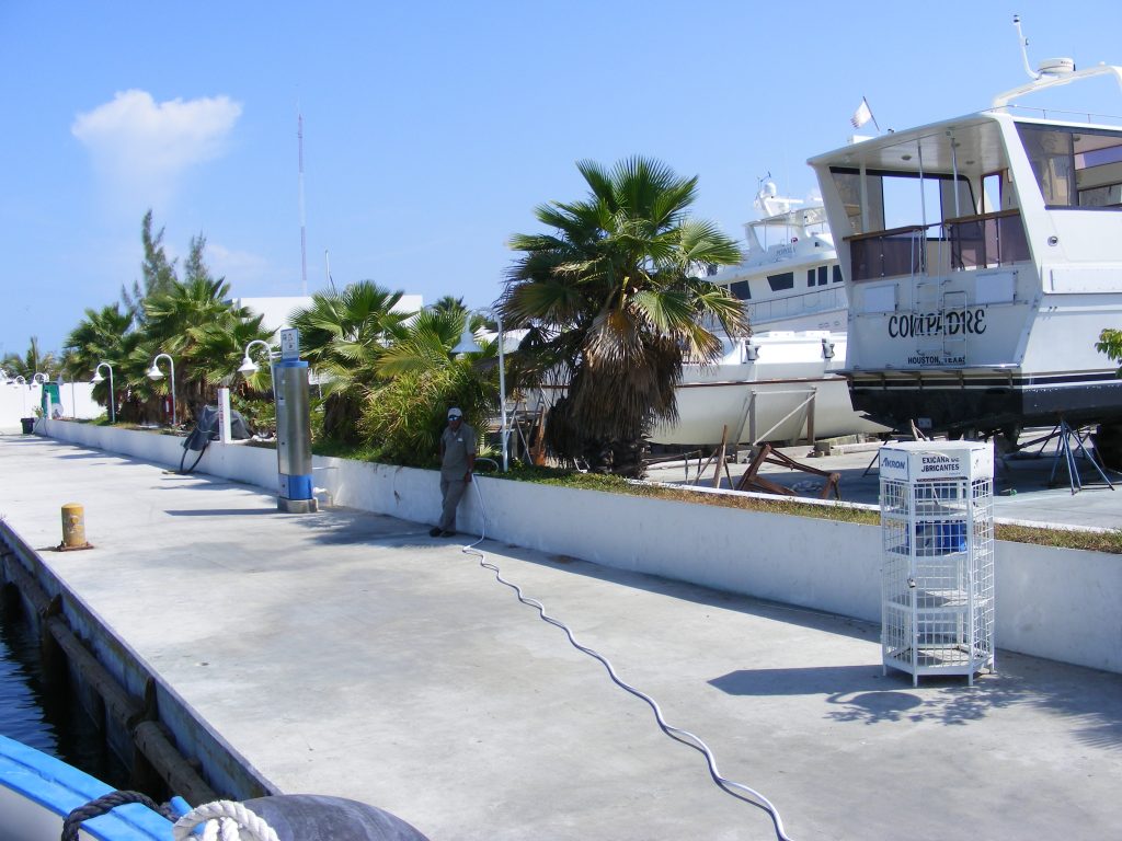
Tied up at the fuel dock at Isla Mujeres. Here we took on 1,500 gallons of diesel, filling all tanks to our full 4,500 gallon capacity. Click to view larger.

Fuel tanker William McCloon, originally from Maine.

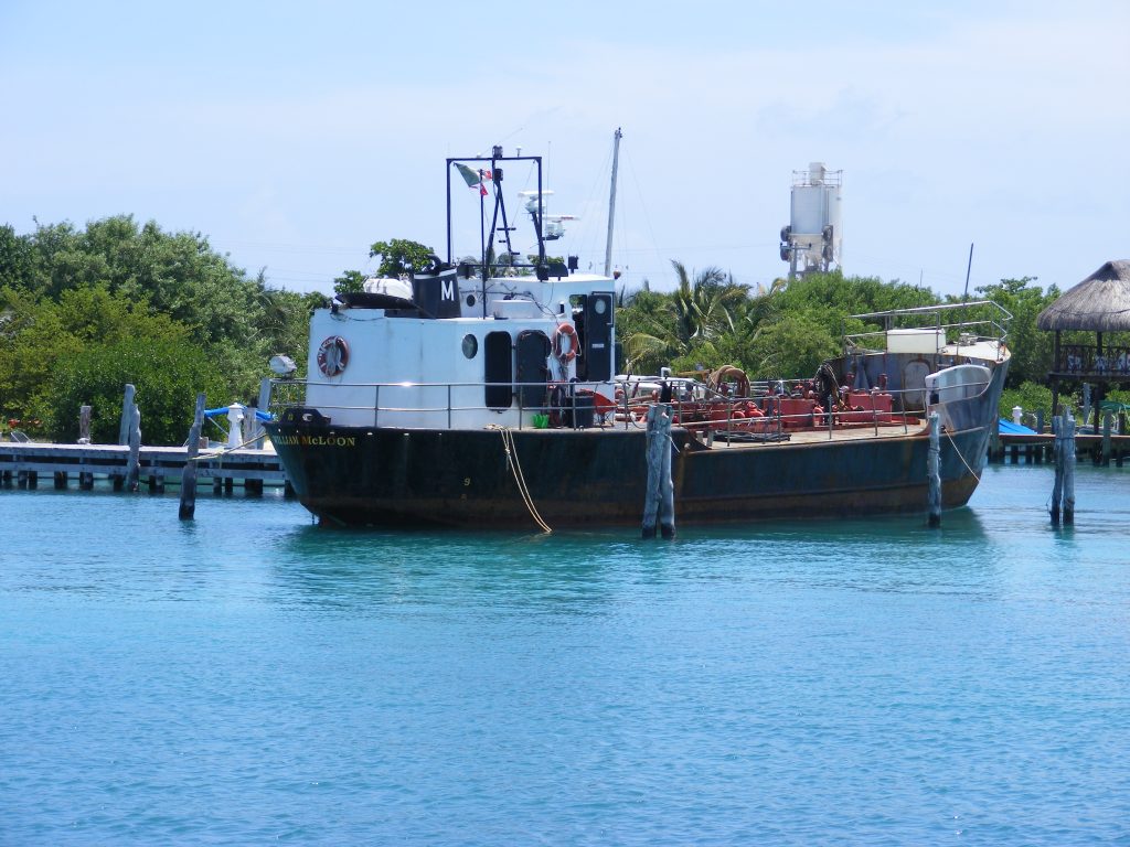
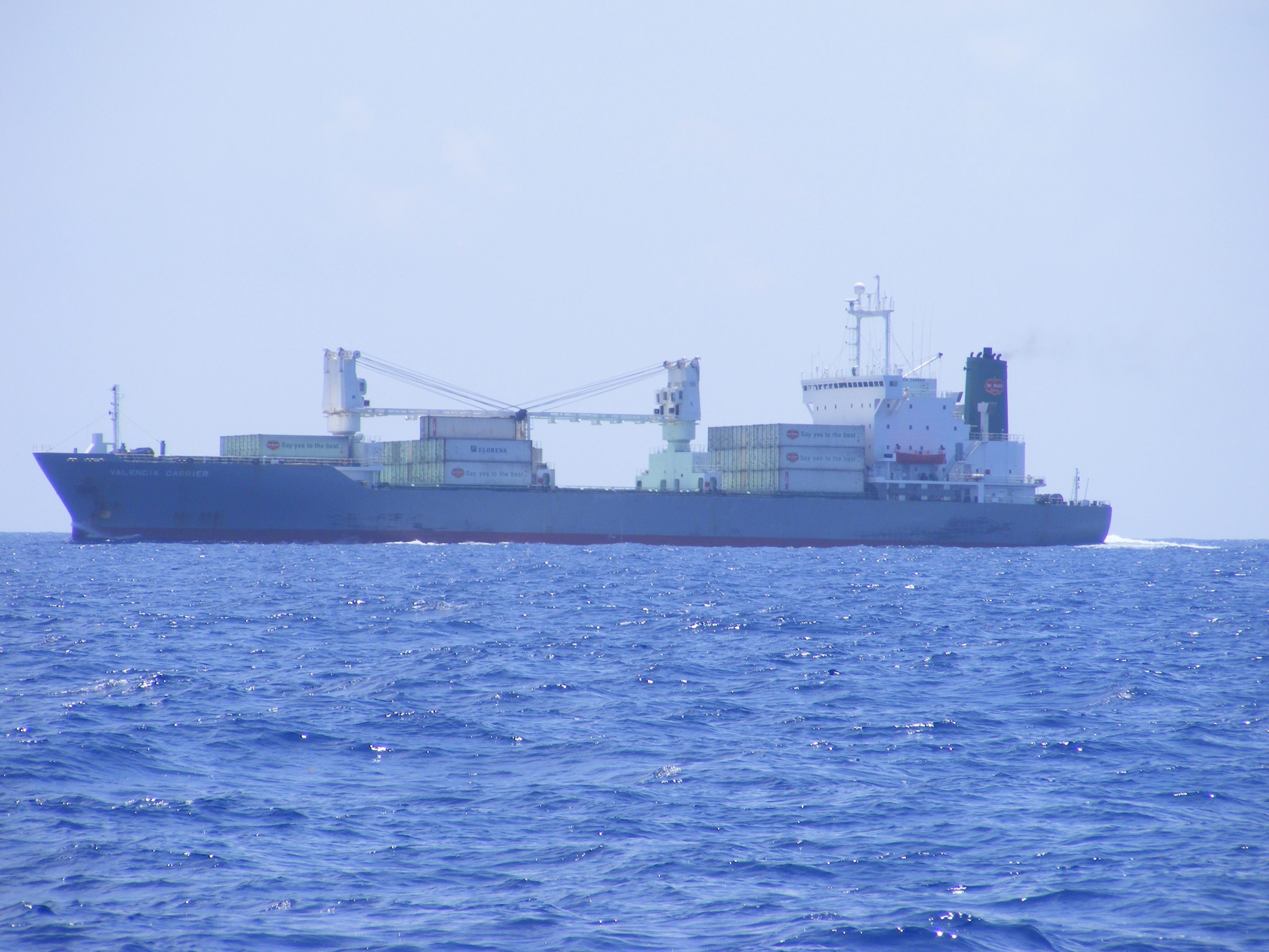
Here’s the William McLoon, a fuel tanker that Bert knew in Maine. What are the odds of finding it here? Click to view larger.

After lunch we decided to take a swim but first we decided to try lowering the “birds” (stabilizers). We had tried a new method for temporarily raising them and so we tried lowering them but discovered that we had a bad tangle that took 2 hours and brute strength to straighten out. The one bird we untangled down at deck level which required detaching the bird and its chain from the boom and then reattaching it. The second bird I decided to go up to the Texas deck and see if I could untangle it up there before lowering it. This worked quite well even though it required me to lift the bird by hand to work the tangles out. To my surprise I discovered that my strength had increased dramatically over the last month and I was strong enough to do it. (The birds are heavy). Once it was untangled it lowered nicely into position. Then, pushing the booms out from their unusual position (inboard, past center) was another trial of strength. My joints popped and cracked in a very satisfying manner but I again surprised myself at the amount of force I was able to come up with. Once the booms were out, and after adjusting the forward tensioners, we were ready to go.

Crystal clear waters of Isla Mujeres.

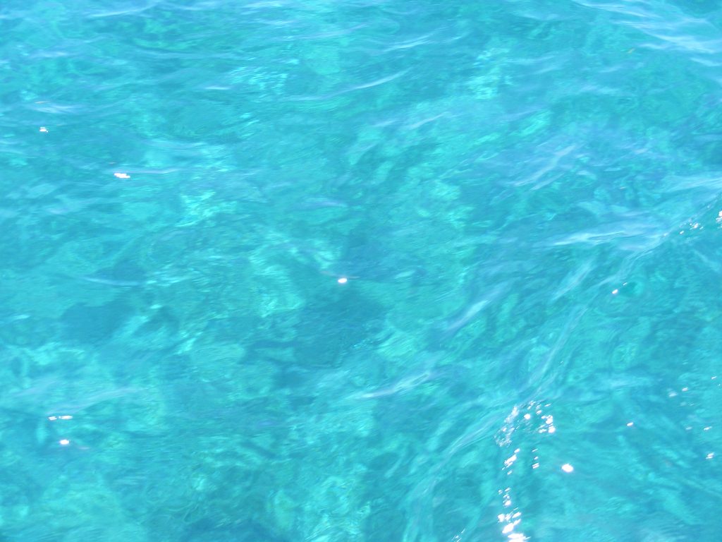
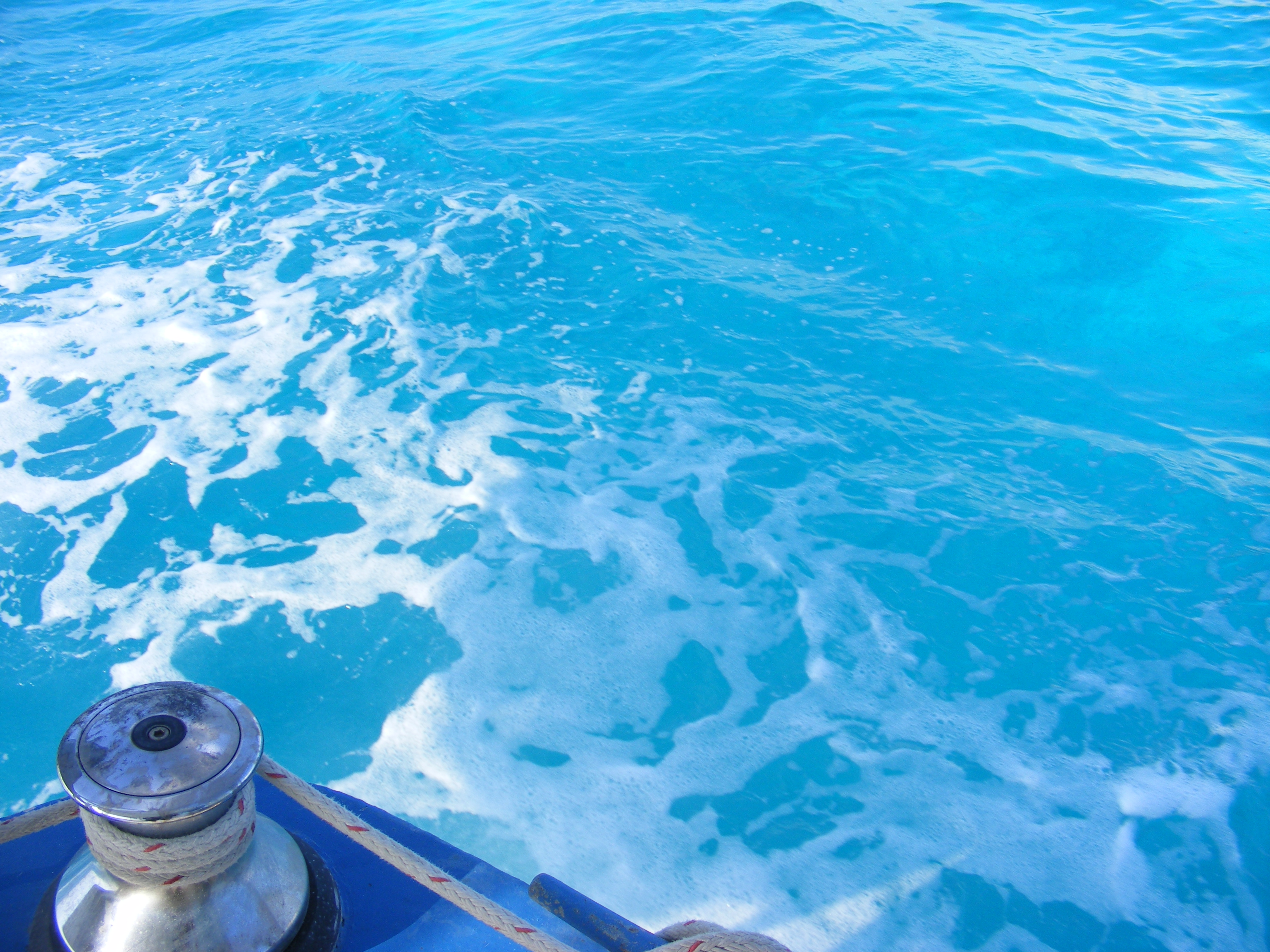
Anchored in 12 just feet of water in a strong current. The water is absolutely clear. Click to view larger.

Crystal clear waters of Isla Mujeres.

Like an enormous swimming pool of crystal clear water. Click to view larger.

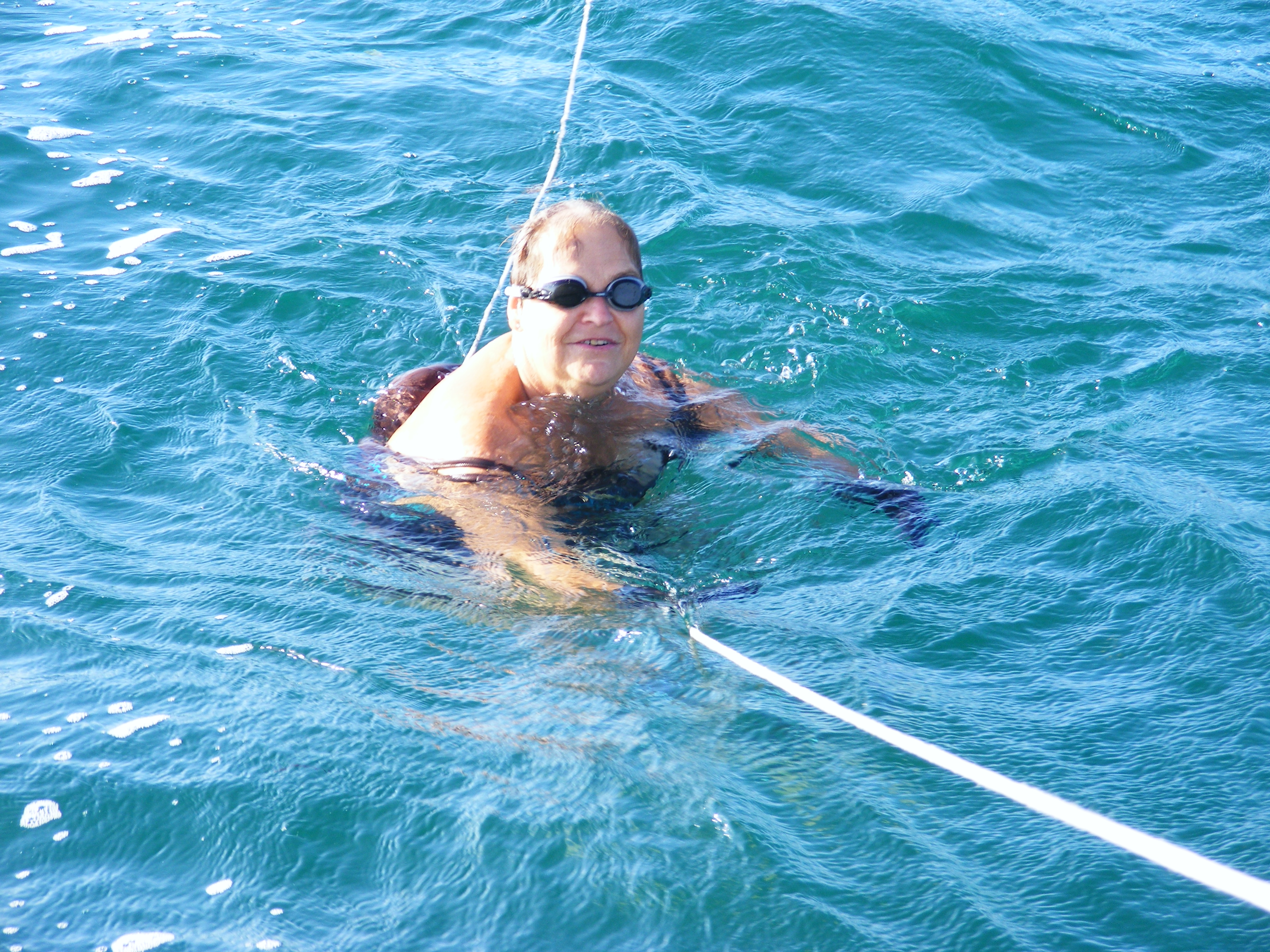
Finally, we took a cool-off swim. The 75 foot safety line was a must in this spot. The current was more than 2 knots. Even so, I put on a dive mask and had a look around in the clear water. The bottom was pure white sand and not a living thing in sight. We washed off with fresh water, raised anchor, and got under way again. When we got out from the protected waters and things began to get rolly again, I lowered the birds. They worked flawlessly. We passed Cancun, miles and miles of hotels and beaches, and the seas gradually got rougher. Bert was trying to avoid the treacherous currents in this area and we hugged the coast. At times we were making 6.8 knots over the ground. But as we approached Punta Brava we were forced to fight the current. 2.5 to 2.8 knots is all we could manage and it took hours to fight our way around the “rock awash” (on the chart), and all the while we were getting knocked around by the confused swells. Most of the swells were on our stern and the Simrad autopilot had to fight hard to maintain course. It does a fine job. I have the watch while Bert gets some much-needed rest.

Nancy swimming behind M/V Vagabond.

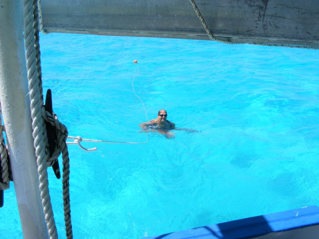
Nancy in the water off the stern of M/V Vagabond at Isla Mujeres. Click to view larger.

The beach at Isla Mujeres

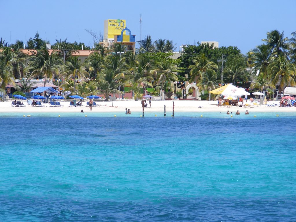
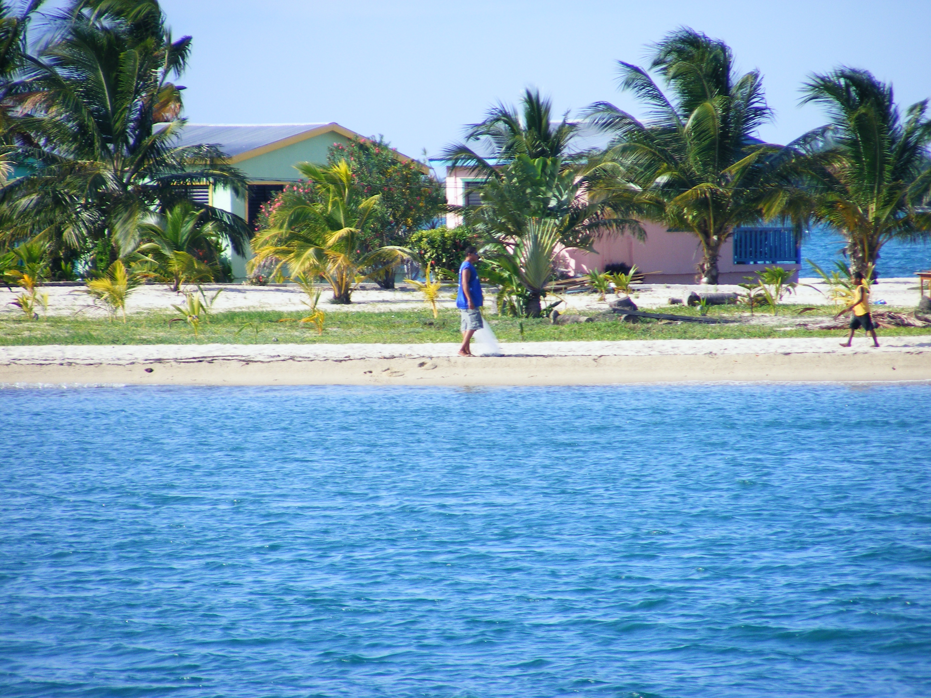
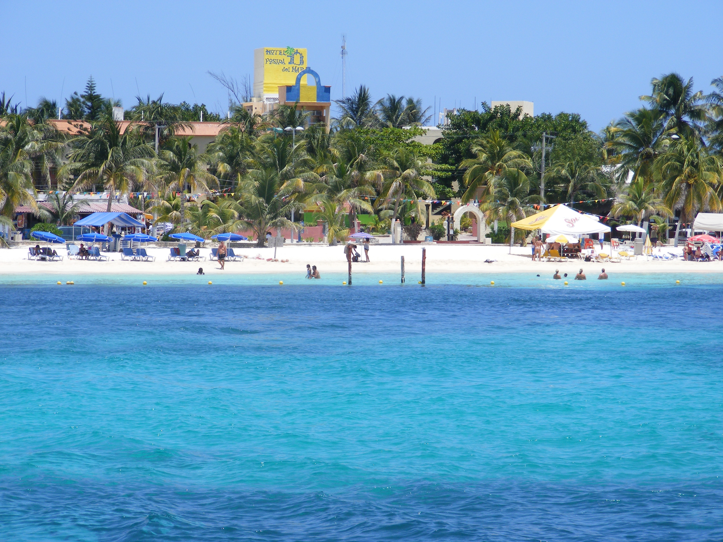
The beach at Isla Mujeres. Click to view larger.

« Older posts

© 2024 Shuttersparks

Theme by Anders NorenUp ↑

Find me on Mastodon